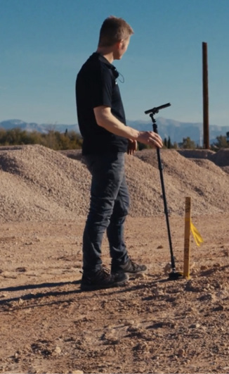
Motion-based measuring device developer has upgraded its flagship technology, which utilizes motion sensors to enable accurate measurements of complex spaces and is now equipped with an advanced array of capabilities that include 3D terrain mapping, surface area, volume and cut-and-fill calculators. Unlike traditional tools for landscaping professionals, Moasure doesn’t rely on GPS, line-of-sight or cellular signal, but instead uses motion sensor technology to measure accurately and efficiently.
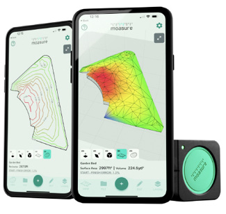
Moasure utilizes advanced algorithms to convert motion data into measurements of distances and angles, enabling elevation, gradient, volume, and surface area calculations. With the latest update, professionals in the construction industry have access to a variety of built-in visualization options and app features. They can now easily map the terrain across a space, view the site’s topography, and utilize the cut-and-fill tool, programmed to calculate the volumes required to level a site to desired depths—eliminating guesswork when ordering materials.
For Illinois landscape architect Jan Satterthwaite of Vireo Design Studio, Moasure equates to “No more cumbersome measuring tapes and note taking on a rainy slippery slope. Not only does it measure a complicated site in the horizontal realm, but it provides elevation points and then rolls it all up into an exportable .DWG drawing file.” — Moasure 3D Technologies Ltd., Warwick, U.K.; www.moasure.com